Even more rain is coming to the Delaware River watershed after this week’s deluge
| January 11, 2024
The Delaware River watershed barely has had time to bail out from the deluge of flood-triggering rain on Tuesday and Wednesday before another storm system brings more —but not quite as much — precipitation on Friday.
The National Weather Service’s Middle Atlantic River Forecast Center was, as of Wednesday night, forecasting flooding at 36 river locations across the Mid-Atlantic region.
A cluster of these locations are in the watershed, with forecasters labeling the potential flooding as ranging from minor to moderate.
The center identified a large patch outside of Philadelphia and extending north and east into New Jersey as the sites for significant flooding that occurred on Wednesday. In Philadelphia, water levels even surpassed those from Hurricane Sandy, according to federal forecasters.
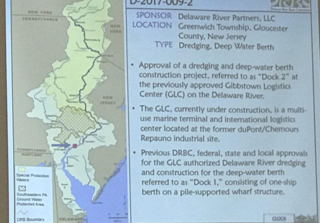
The Delaware River Basin Commission reported that flooding at several stream gages within the basin, including on tributaries, the non-tidal mainstem or tidal locations.
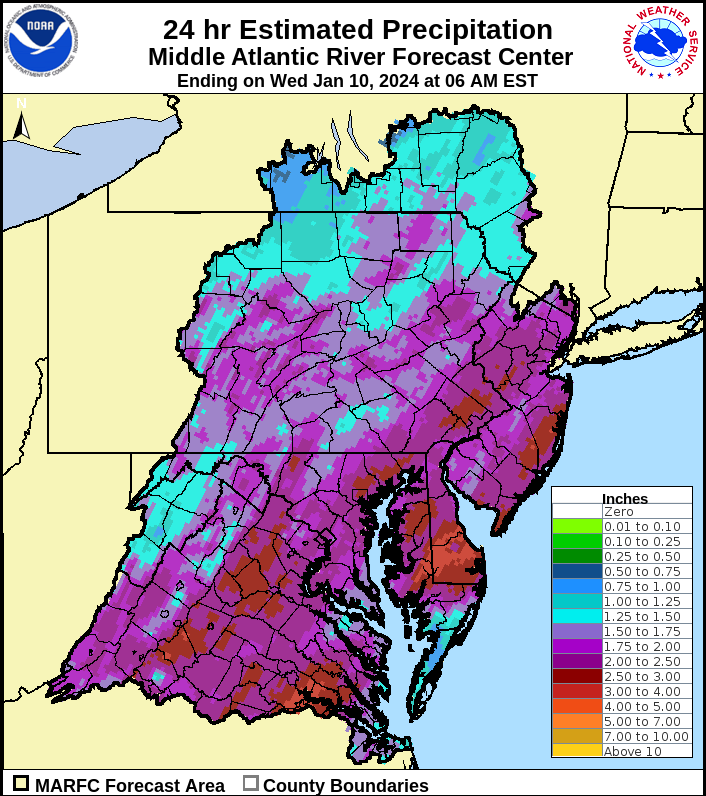
The commission said that in a 24-hour period from Tuesday into Wednesday, many locations in the basin got roughly two to three inches of rain.
Major flooding was reported in Neshaminy Creek in Langhorne, Pa., the East Branch Brandywine Creek below Downingtown, Pa., and at tidal locations at Washington Street in Philadelphia; Bridesburg and Newbold Island, Pa.; and in Burlington, N.J., the DRBC said.
In Philadelphia, 3.18 inches of rain has fallen so far this month. Normal rainfall for the entire month is 3.13 inches, according to the Weather Service. The January record is 8.86 inches, which was set in 1978.
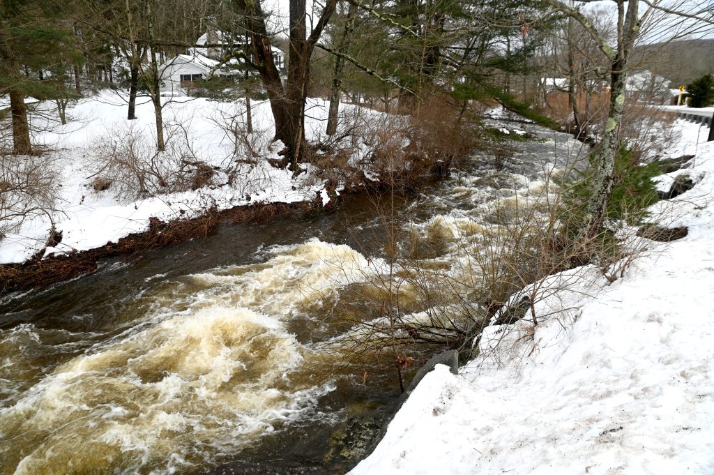
Images of street flooding, roaring creeks and some waterways brimming or overflowing their banks were common on social media.
Aerial photos posted by the DRBC showed aerial pre- and post-flooding photos of Neshaminy Creek at Playwicki Park in Langhorne, Pa. The creek reached 13.91 feet. Major flood stage is 14 feet.
For a look at current and forecasted river levels along the main stem Delaware River or Delaware Bay, go to this DRBC site, which draws data from the Weather Service.
What’s in store for Friday
Another storm bringing up to 1.5 inches of rain into the basin is forecast for Friday into Saturday.
“While conditions are forecast to generally be less severe than the outgoing system, additional flooding, tree damage, power outages, and coastal flooding are possible once again,” the Weather Service Office in Mount Holly, N.J., said.
The Weather Prediction Center put most of eastern Pennsylvania, New Jersey and parts of the Delmarva at a slight risk (Level 2 out of 4) for excessive rainfall for Friday into Saturday, with extreme southern New Jersey and southern Delaware ranked at a marginal risk (Level 1 out of 4).
Rainfall amounts will range from half an inch to an inch along the I-95 corridor, the center said. For areas north and west of the I-95 corridor, rainfall will be a bit higher, up to 1.5 inches, with locally up to two inches possible, according to the forecast.
“River flooding will continue across the Mid-Atlantic and Northeast today,” the Weather Service said. “Additional rainfall will bring renewed rises on rivers and small streams this weekend, with flooding impacts possible.”
More rain in the Upper Delaware
In Sullivan County, N.Y., a storm system late Friday into the weekend will “bring another round of snow changing quickly to rain, and strong winds,” the Weather Service said. “Rainfall may lead to areas of flooding.”
The National Weather Service’s Advanced Hydrologic Prediction Service on Thursday showed areas of the East Branch of the Delaware River at Pepacton Reservoir, the West Branch of the Delaware River at Walton, N.Y., and at the Cannonsville Reservoir, and the Neversink River at the Neversink Reservoir were all near flood stage.
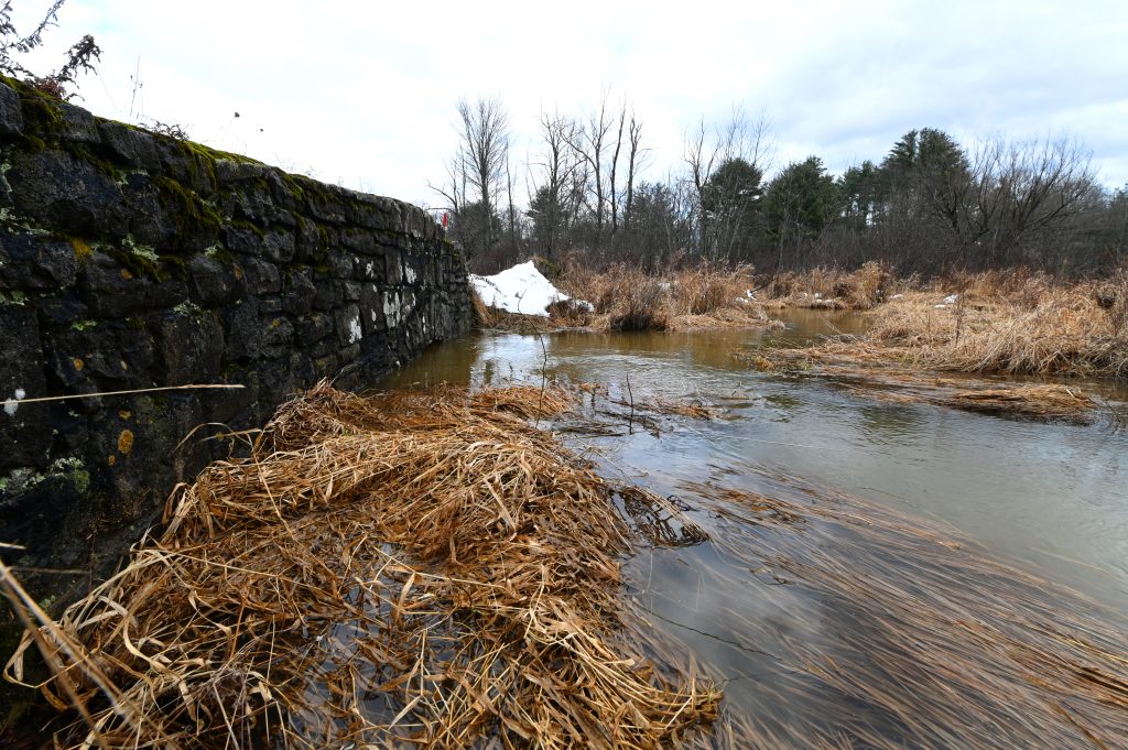
In a forecast through Sunday, the Weather Prediction Center said “another round of rain in the Mid-Atlantic and Northeast will lead to renewed rises on rivers and streams and possibly flooding.”
In another statement, the center suggested that ever more precipitation was in store after that. It said snow is likely into the Mid-Atlantic region Sunday into Monday and possibly over the Northeast in the middle of next week.
It’s hard to believe it was only in June that it was so dry that Pennsylvania issued its first statewide drought watch in 17 years. Most of the state is now listed as “normal” with some counties in the watershed, such as Bucks, Montgomery and Northampton, still listed in drought watches as of Thursday.
Be prepared
Heed this advice from the National Weather Service:
- Get to higher ground if you are in an area that is subject to flooding.
- Follow evacuation orders and heed warning signs.
- If you have time before you evacuate, disconnect utilities and appliances.
- Avoid floodwaters: It is NEVER safe to drive or walk through them.
Read more here about signing up for emergency weather alerts.


